
Precise GPS Coordinates
Store exact latitude and longitude in photo metadata.
Add GPS coordinates, date, time, title, and notes to your photos.All data is written to EXIF metadata—your image stays exactly the same.
Upload images to geo tag
JPG, PNG, JPEG and WEBP supported
Saved into JPG EXIF metadata only. The image stays visually unchanged.
| Photo | Location | Coordinates | Date & Time | Title | Status | Actions |
|---|---|---|---|---|---|---|
| No images loaded | ||||||
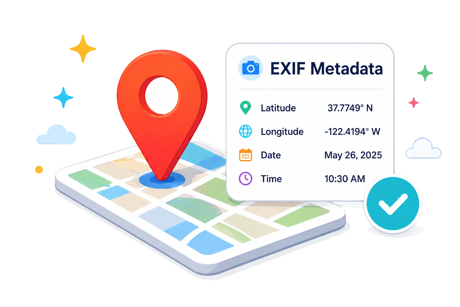
Photo geotagging stores GPS location information inside a photo's EXIF metadata. This hidden metadata helps apps and workflows use location data—without changing how your photo looks.
Store exact latitude and longitude in photo metadata.
Write location, date and more to EXIF metadata.
Find and save the real address for any location.
Add titles, descriptions and keywords for better organization.
Everything happens in your browser. Your photos stay private.
Use geotagged photos for inspections, travel and official records.
Choose your photo from your device.
Search or enter GPS coordinates.
Add date, time, title and notes.
Get your photo with geo tags saved in EXIF metadata.
Document site visits with accurate location and time proof.
Preserve where and when your adventures happened.
Show property locations with verified photos and metadata.
Provide verifiable proof of deliveries and field work.
Upload a JPG, JPEG, PNG or WEBP image, search for the place or enter latitude and longitude manually, add a title, then download the tagged photo.
Yes. This tool is made for existing photos. You can add GPS coordinates, date, time, title and optional notes before exporting a new tagged copy.
GPS gives the latitude and longitude of a place. Geotagging saves that location information inside a photo's metadata so the image can carry location context.
Yes. You can type latitude and longitude yourself, choose a location from search suggestions, or use the map picker to place a pin.
No. The tool saves location data as metadata. It does not add a visible stamp, watermark or overlay to the picture.
For JPG and JPEG files, GPS coordinates are written into standard EXIF GPS fields. Other supported formats keep available metadata where the browser format allows it.
You can upload JPG, JPEG, PNG and WEBP images. Download support depends on the browser and image format, with JPEG used when a format needs conversion.
Yes. The tool runs in a modern mobile browser, so you can upload photos, search a location, add coordinates and download the tagged copy from your phone.
No. Photo processing happens in your browser. Your photos stay on your device unless you choose to share or upload them somewhere else.
After tagging, use the eye button in the Photos to be Tagged table to view the saved EXIF details, including location, coordinates, date, time and title.